

Guest Post – Modeling Striping with Civil 3D and InfraWorks
I’m honored to feature Robert Cochran, PE who is a civil engineer and 3D visualization evangelist from Memphis, TN. After the podcast episode on modeling striping in 3D, Robert contacted me and offered an alternative that I hadn’t covered that involved bringing striping files from Civil 3D into InfraWorks. The results are beautiful and I am excited that he is sharing this promising workflow with the Civil FX community. He provided his lisp routine file but I couldn’t attach it to this post so if you are interested in this file, email me and I will send it to you personally.
Some of Robert’s other projects can be viewed at https://www.youtube.com/user/ah3dviz.
Parking Lot Striping Modeling using Civil 3D and InfraWorks
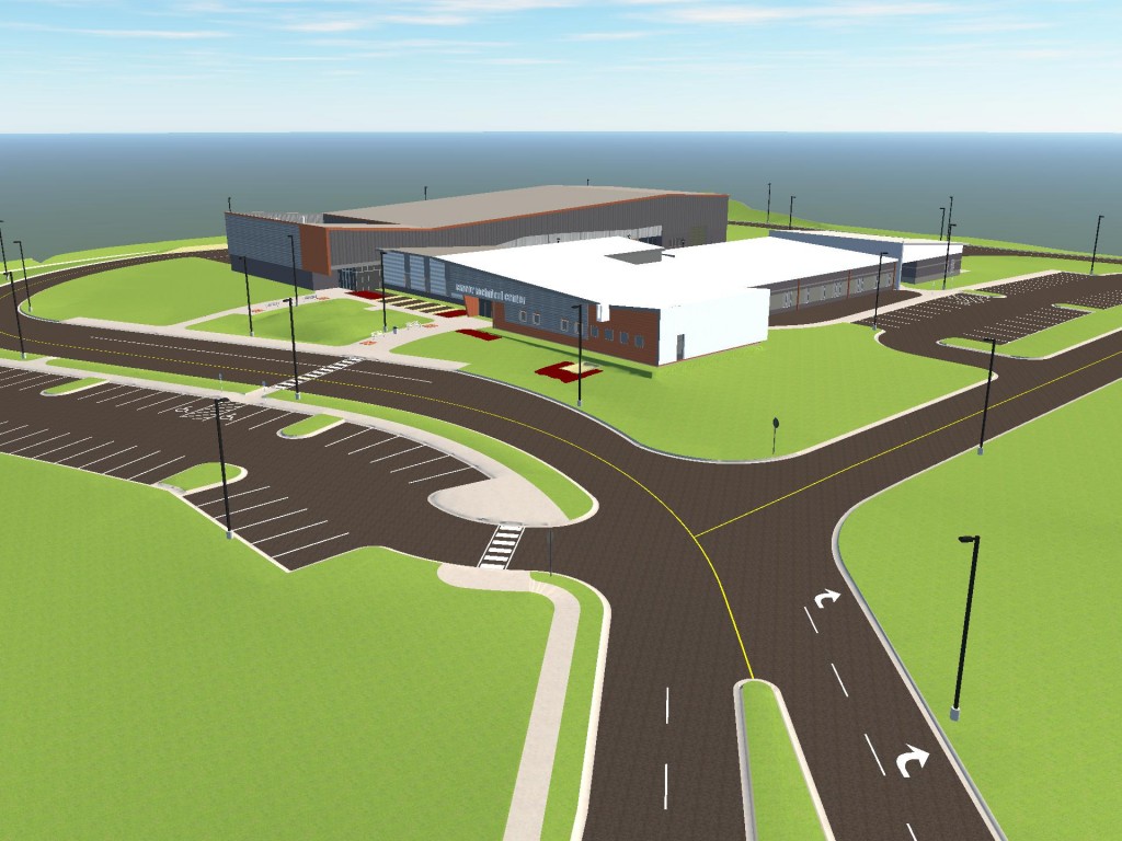
Imagine you have a proposed site plan for a small project and it has roughly 100 parking spaces. Traditional methods of modeling fall short of making this anything other than a headache to do accurately and with good results.
Luckily I’ve found a rather easy method using coverage areas in InfraWorks that works especially well for parking lots. In short, you can import coverage polygons into InfraWorks to represent the striping. These stripes are draped on top of the terrain to look three-dimensional. That’s the basics but let’s dive in deeper and go through it step by step.
Here is my site plan. I have roughly 100 parking spaces that I need to add to the model.

In Infraworks, I have already exported out my finished ground surface as an Autodesk IMX file. I have also exported coverage areas for my concrete sidewalks and asphalt. I need to add some parking stripes.


Here is my method for quickly converting Autocad lines into coverage polygons.

I isolate all my parking lot lines and covert them to polylines. I use the mpedit command, to selected all the lines and convert them to polylines.

There is no need to join them, but you do want to increase the width of the line. In my case, I want the polylines to have a width of 4”. So now we have all the parking stripes as polylines with a global width of 0.33.

I use a lisp routine called PLWtoOutline&Hatch.lsp (I couldn’t get this file to upload but if you are interested, email me sam@civilfx.com and I will send it to you!). This routine works with any polyline with a global width. Once you select your polylines, the routine creates a boundary along the edges of the global width polyline. By using this routine, my parking stripes go from this..

To this.

Sometimes this command does not produce closed polylines. I do a quick check to make sure all of these new boundaries are closed polylines and close them if they are open.
Using mapexport, export the new closed polylines as a Polygons.

Don’t forget to check the “Treat closed polylines as polygons” in the options.

Now import them into Infraworks as a coverage area and assign a style/color. I’m using a white color

We now have parking lot stripe that are draped on top of my finished ground surface. You can see that the results are rather clean and the best part is that, because the striping area is a coverage area, the paint is the same as the surface so you don’t get any weird shadow issues like you do with the pipeline draping or other methods.


Good day! I could have sworn I’ve been to this blog before but after
going through many of the articles I realized it’s new to me.
Nonetheless, I’m definitely delighted I stumbled
upon it and I’ll be book-marking it and checking back regularly!